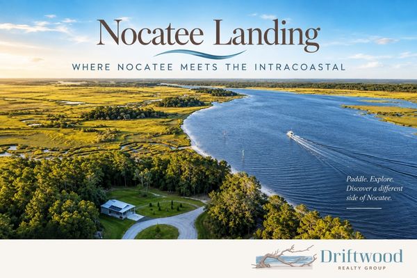
Nocatee Landing: Where Nocatee Meets the Intracoastal
One of the things that's easy to miss about Nocatee is just how much of the community is connected to the natural landscape surrounding it.
Drive south through Crosswater and turn onto Nocatee Landing Trail, and eventually the neighborhoods disappear. The road winds through preserved land until it reaches the Tolomato River, part of the Intracoastal Waterway.
That's Nocatee Landing.
It's a place to launch a kayak, canoe or paddleboard, spend some time along the water, fish, or simply see a side of Nocatee that feels remarkably removed from the neighborhoods and amenities only a few miles away.
And it also marks the southern end of the Nocatee Preserve, connecting two of Nocatee's most interesting outdoor spaces.
What Is Nocatee Landing?
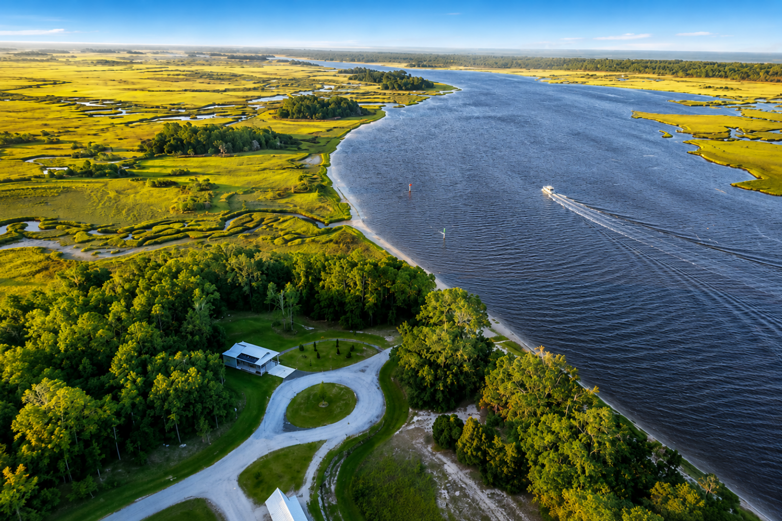
Nocatee Landing sits along the Tolomato River on the western side of the Intracoastal Waterway.
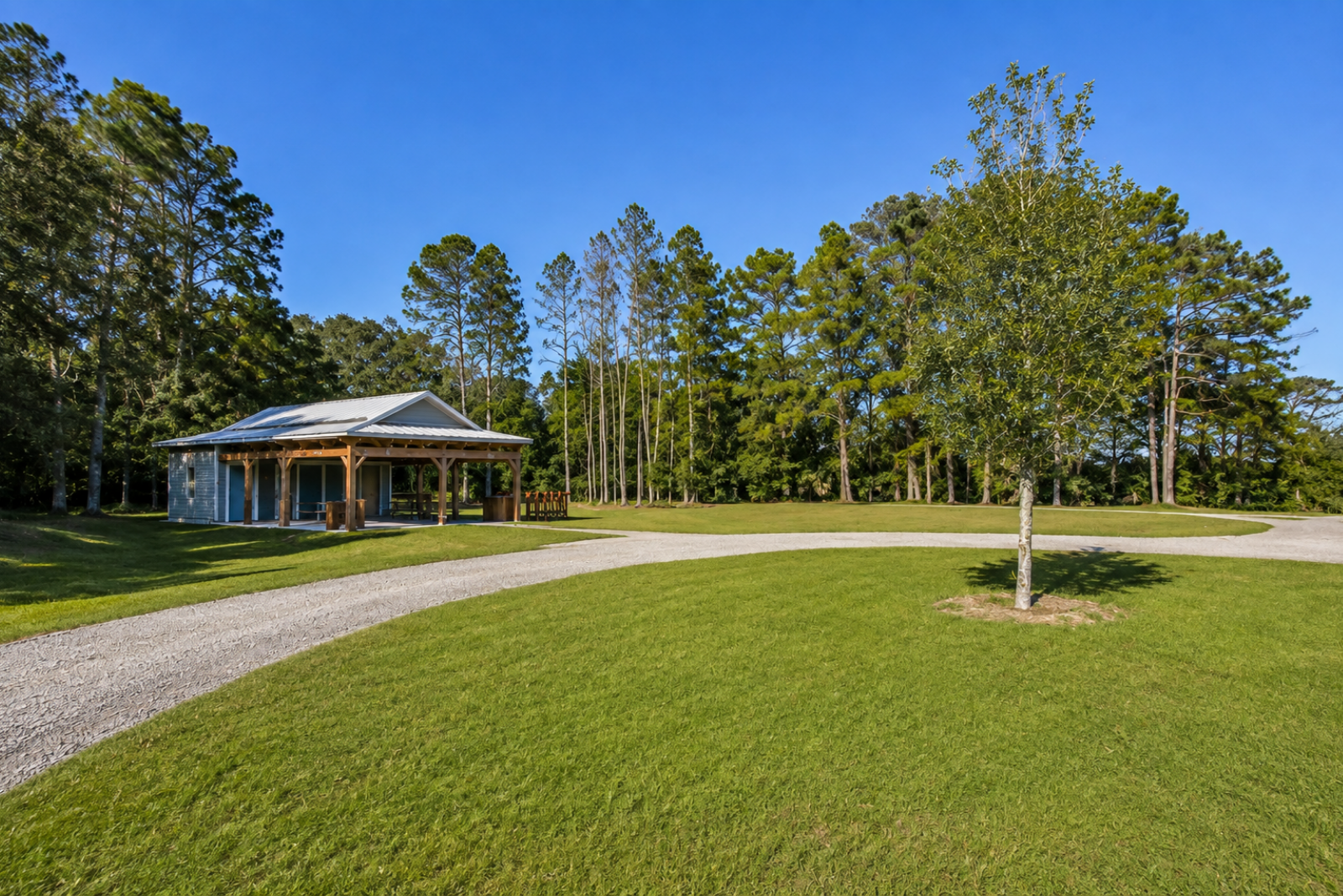
The amenity was announced by The PARC Group in 2018 as another way to connect Nocatee residents with the waterways and preserved land surrounding the community. In 2019 Nocatee Landing opened with an open-air pavilion, bike racks, parking, restrooms and a launch for non-motorized watercraft such as kayaks, canoes and stand-up paddleboards.
The Drive There Is Part of the Experience
This isn't an amenity you happen to pass while driving through Nocatee.
You have to be going there.
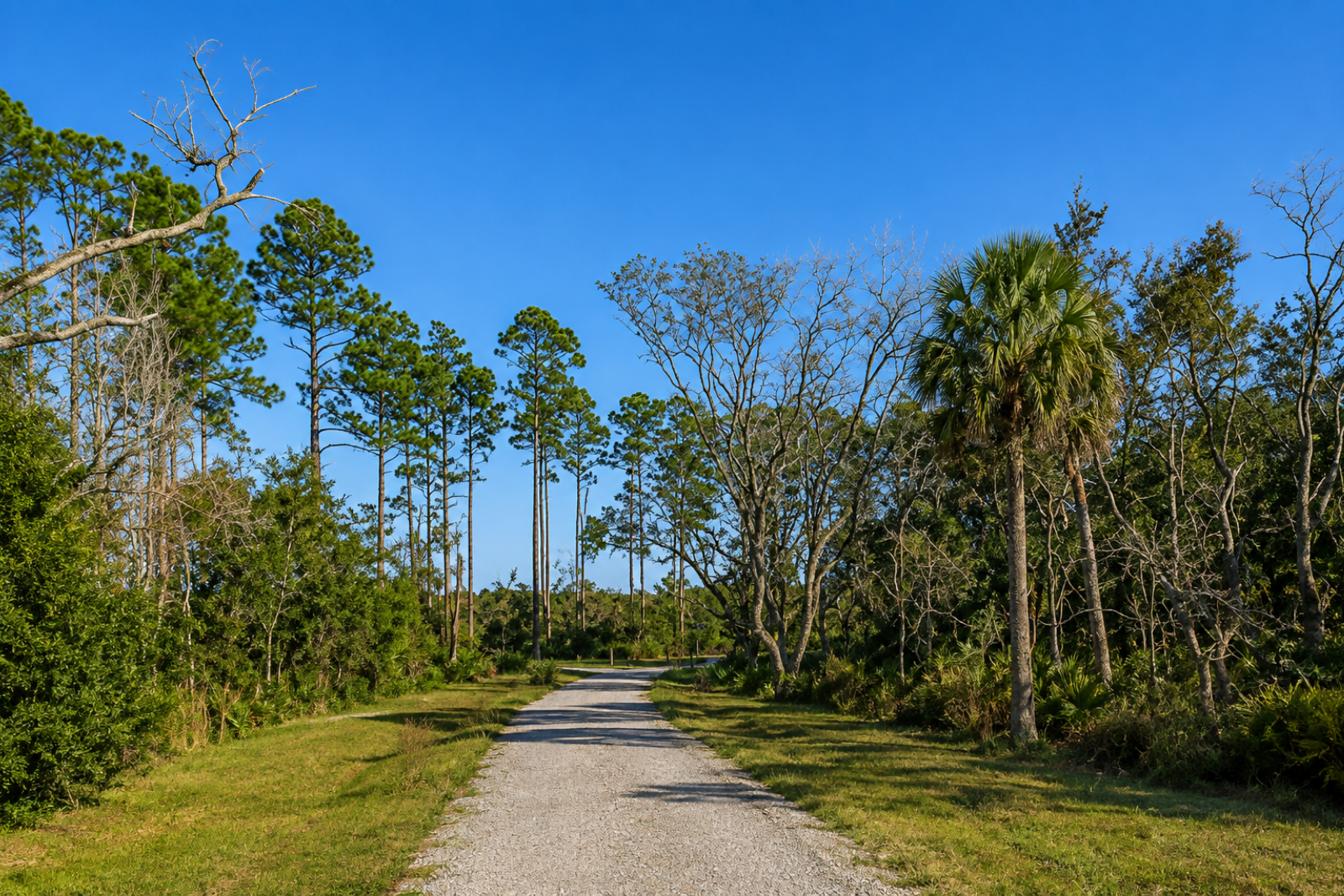
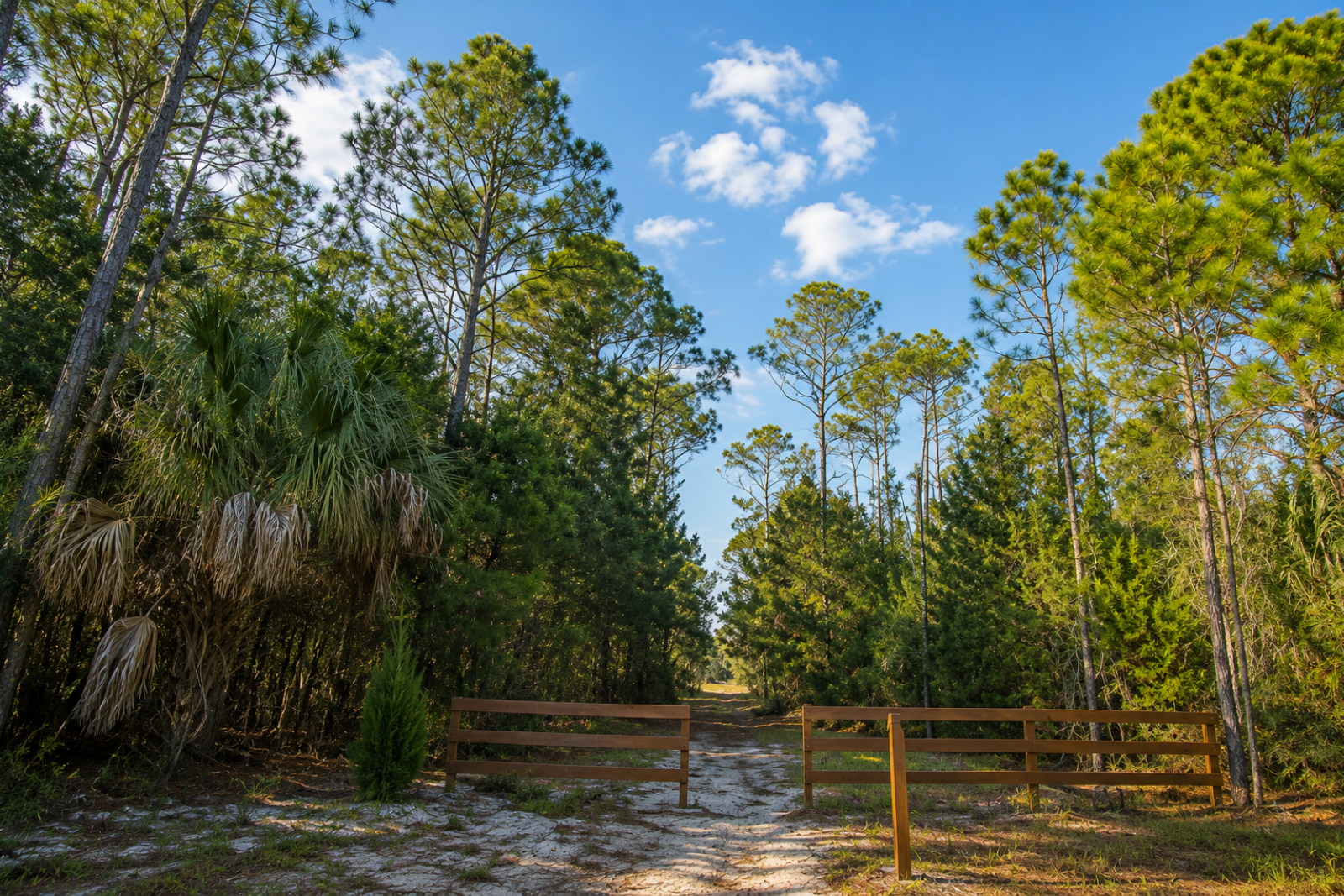
Nocatee Landing Trail takes you away from Crosswater and through the preserved landscape before reaching the river. As the homes disappear, the setting becomes increasingly wooded and undeveloped.
That isolation is part of what makes Landing interesting.
Nocatee's pools, parks and Town Center are very visible parts of living here. Nocatee Landing shows you the other side of the community: the forests, wetlands, marsh and waterways that surround it.
Launching a Kayak or Paddleboard at Nocatee Landing
The launch itself is refreshingly simple.
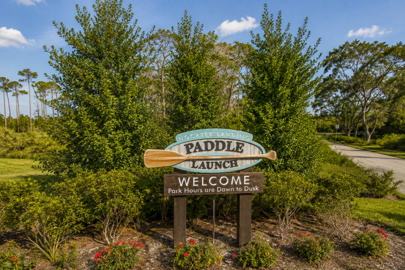
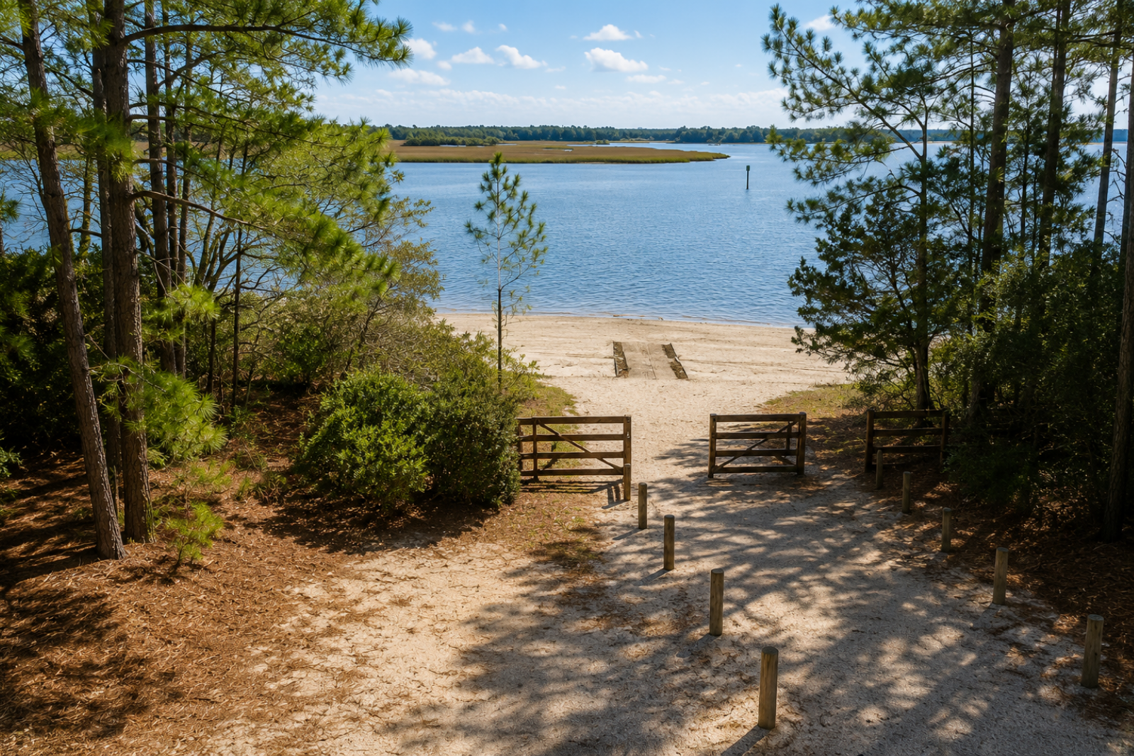
Rather than a large concrete boat ramp, you'll find a natural sandy approach to the water. It's designed for non-motorized watercraft, including kayaks, canoes and stand-up paddleboards.
The photograph below is probably the best way to understand what you're actually arriving at.
There is one distinction worth making:
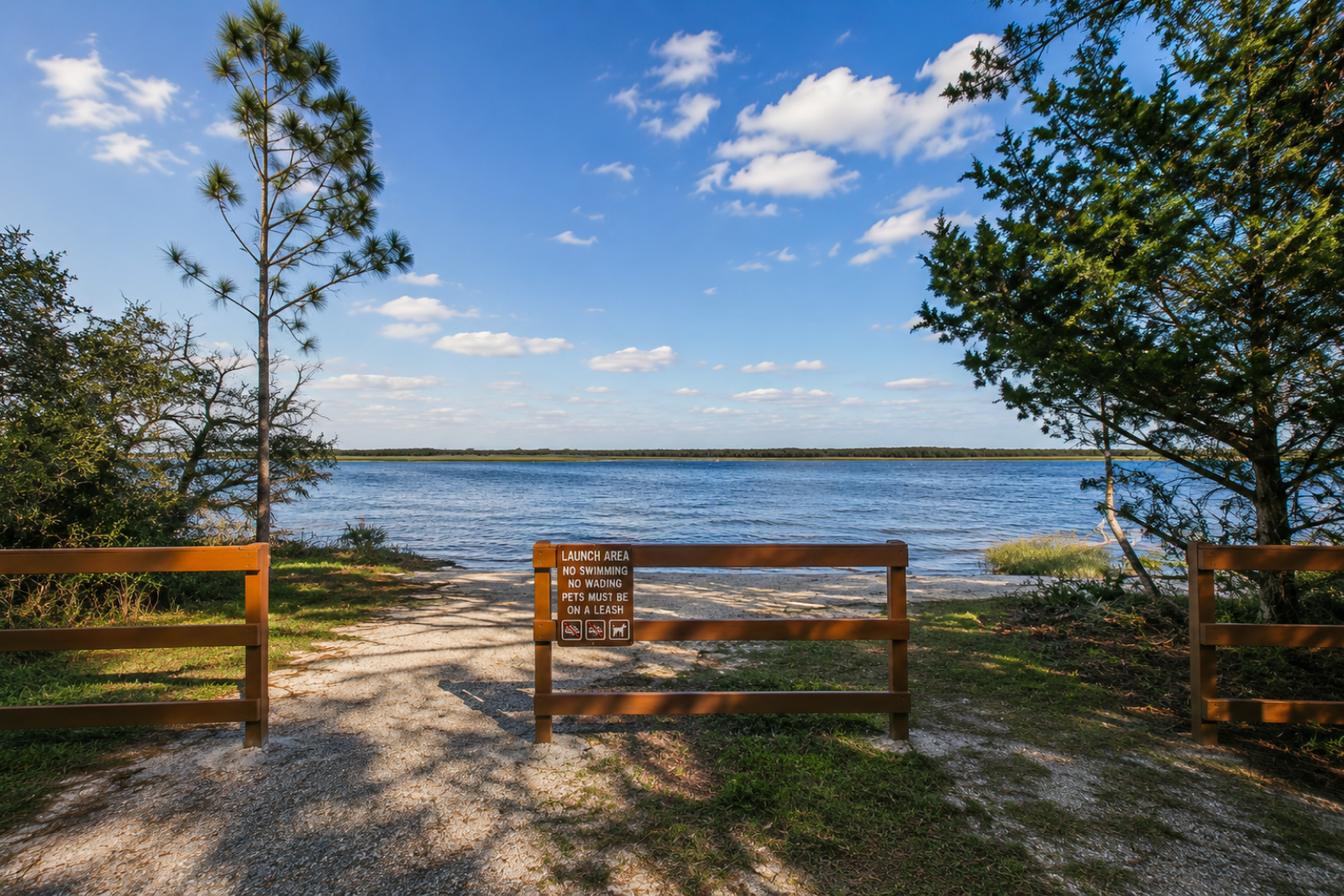
This isn't a swimming beach.
The sandy shoreline certainly looks a little like one, but the posted rules at the launch clearly state No Swimming and No Wading.
It's a launch area.
Paddling the Tolomato River
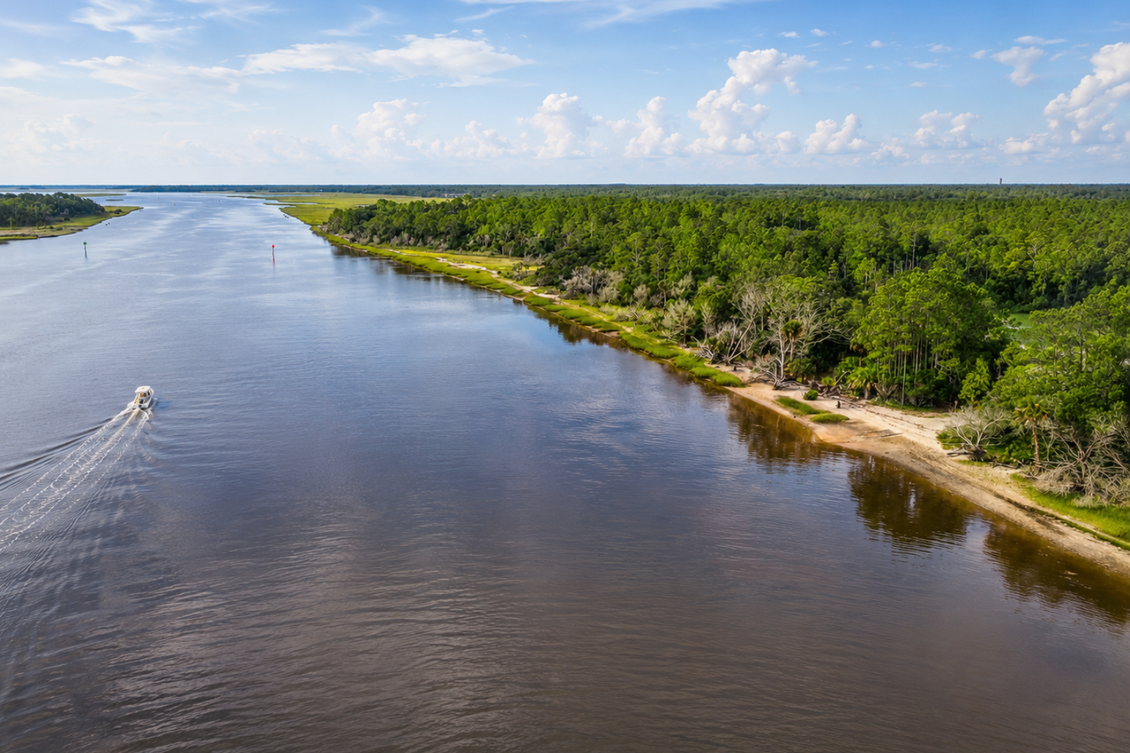
Once you're on the water, you're entering the Tolomato River and the Intracoastal Waterway.
This is not an enclosed neighborhood lake.
The river is tidal, and the surrounding environment includes marshes, creeks, shallow areas and active boating channels. St. Johns County currently publishes two paddling routes beginning at Nocatee Landing, one toward Capo Creek and another toward the GTM Research Reserve dam. (St. Johns County)
That makes it possible to do a little homework before simply putting a kayak in the water and deciding which direction to go.
Because this is a tidal coastal waterway rather than a protected pond, we'd also check the weather, tides and current conditions before heading out. Paddlers should be prepared for changing water depth and motorized boat traffic in the main channel.
For someone unfamiliar with coastal paddling, this is one of those amenities where preparation matters more than it might appear from shore.
The Other Nocatee Kayak Launch
This is where the names can get confusing.
Nocatee Landing is not Nocatee's original Kayak & Paddle Sports Launch.
The original launch is farther north at the base of Nocatee Parkway, on the west side of the Intracoastal Waterway.
Nocatee Landing came later and is farther south, near Crosswater and at the southern end of the Nocatee Preserve. Nocatee continues to list Kayak Launch and Nocatee Landing separately among its outdoor amenities.
So if someone tells you to "meet at the Nocatee kayak launch," it's worth asking which one.
One of Our Favorite Intracoastal Memories
We've enjoyed this part of living near the Intracoastal ourselves.
For one of my birthdays, we rented paddleboards from Palm Valley Outdoors near the original Nocatee kayak launch. While we were out paddling, manatees actually swam underneath our boards.
It's one of those Northeast Florida experiences that's hard to explain until you've had it.
And it's part of what I like about having places such as Nocatee Landing nearby. You can live in a master-planned community and still have access to an environment that feels completely different once you're out on the water.
Nocatee Landing Is Also the Southern End of the Preserve
This is probably the piece of Nocatee geography that people don't always put together.
The Nocatee Preserve stretches through approximately 2,400 acres of conservation land along the Tolomato River.
The northern trailhead is behind Ponte Vedra High School.
Nocatee Landing sits at the southern trailhead.
So these aren't really two unrelated amenities.
They're two access points into the same larger preserved landscape.
When Quinton and I recently explored the northern end of the Preserve, we found an unpaved wilderness trail that feels dramatically different from Nocatee's paved Greenway Trails. Down here at Landing, that preserved landscape meets the river.
READ: Exploring the Nocatee Preserve →
A Much Older History Along the Water
There's another detail at Nocatee Landing that is easy to walk right past.
Near the river is an interpretive marker about the Timucua, the Indigenous people who inhabited Northeast Florida long before European colonization.
The marker describes the Timucua as living in small villages along the river, coastline and other waterways throughout Northeast Florida. Fishing, hunting, gathering and farming were all part of their lives, and waterways such as this one were deeply connected to how people moved through and lived in the landscape.
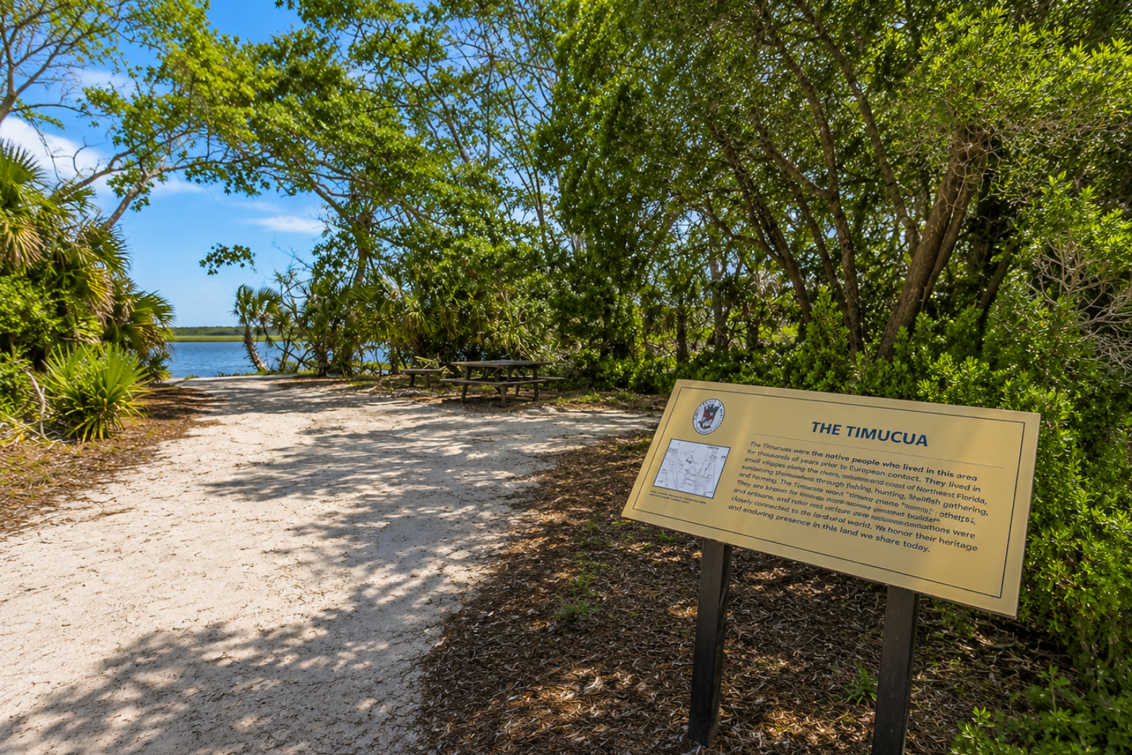
I wouldn't turn a visit to Nocatee Landing into a history lesson, but I do think the marker adds some perspective.
We tend to think of Nocatee's connection to this river as something created by trails and paddle launches.
People were living along and traveling these waterways centuries before Nocatee existed.
What to Know Before You Go
Nocatee Landing is one of the less complicated Nocatee amenities, but a few things are worth knowing.
It's at the end of Nocatee Landing Trail, away from the main activity centers. There is parking, a pavilion and restrooms. The launch is intended for non-motorized watercraft. The sandy waterfront is a launch area rather than a swimming beach, and the posted rules prohibit swimming and wading.
If you're paddling, you're entering a tidal Intracoastal waterway, not a neighborhood pond. Check the weather and tides, bring the appropriate safety equipment, and understand the route you plan to take before launching.
And if you're simply going to see it?
It's still worth the drive.
Why We Think Nocatee Landing Matters
Nocatee is usually photographed around Splash, Spray, Town Center or rows of beautiful homes.
Nocatee Landing tells a different story.
It shows how close the community sits to the waterways and preserved landscapes that have defined this part of Northeast Florida for centuries.
There's no elaborate attraction at the end of the road.
There's water.
Marsh.
Trees.
A pavilion.
A sandy launch.
And miles of Intracoastal landscape stretching in either direction.
For us, that's exactly what makes it worth knowing about.
Frequently Asked Questions About Nocatee Landing
Where is Nocatee Landing?
Nocatee Landing is reached from Nocatee Landing Trail off Crosswater Parkway. It sits along the Tolomato River at the southern end of the Nocatee Preserve.
Can you launch a kayak at Nocatee Landing?
Yes. The launch provides access for non-motorized watercraft including kayaks, canoes and stand-up paddleboards.
Is Nocatee Landing the same as the Nocatee Kayak Launch?
No. Nocatee has two separate water-access locations. The original Kayak & Paddle Sports Launch is at the base of Nocatee Parkway west of the Intracoastal Waterway. Nocatee Landing is farther south near Crosswater and the southern end of the Nocatee Preserve.
Can you swim at Nocatee Landing?
No. The posted rules at the waterfront launch state No Swimming and No Wading.
Are there restrooms at Nocatee Landing?
Yes. There are restrooms, parking, a pavilion and bike racks among the amenities.
Can you fish at Nocatee Landing?
The site is used for fishing as well as paddling and wildlife viewing. Anglers should check current Florida fishing license and regulation requirements before fishing. (Visit St. Augustine)
How does Nocatee Landing connect to the Nocatee Preserve?
Nocatee Landing is located at the Preserve's southern trailhead along the Tolomato River. The Preserve extends northward through approximately 2,400 acres of conservation land.
Continue Exploring Nocatee
Explore Nocatee's 49 Neighborhoods
See how Nocatee is organized into eight areas and find the neighborhoods that fit the way you want to live.
Search Homes for Sale in Nocatee
Browse current Nocatee listings and see what's available across the community.
Download the Nocatee Community Real Estate Guide (coming soon)
Get our comprehensive Nocatee resource for understanding the neighborhoods, amenities and real estate throughout the community.
Curious what your Nocatee home is worth? Request a complimentary home value consultation and learn how today's market may impact your home's value. Call 904.826.3690
Whether you're just beginning your research, planning your next move, or have proudly called Nocatee home for years, we're here to help every step of the way.
Nocatee Real Estate Market Trends, Prices & Insights
See what's happening in the Nocatee housing market, including pricing, inventory and trends buyers and sellers should understand.Nocatee Greenway Trails
Explore Nocatee's greenway trails, multi-use paths and the outdoor connections that wind through the community.Nocatee Wildlife | What Animals You'll See Living in Nocatee
Learn about the deer, birds, gopher tortoises, alligators and other wildlife you may encounter living in Nocatee.Schools in Nocatee for Families Relocating
Understand the schools serving Nocatee, how zoning works and what relocating buyers should know before choosing a neighborhood.What's It Really Like Living in Nocatee? A Resident's Perspective
Go beyond the amenities and real estate to see what everyday life in Nocatee is really like from a longtime resident's perspective.Why We Chose Nocatee: Our Family's Story
Read how we first discovered Nocatee, eventually made it home and watched the community grow while raising our family here.Nocatee Dog Parks & Pet-Friendly Living
Explore Nocatee's dog parks, trails and outdoor spaces, plus practical considerations for living here with pets.The History of Twenty Mile in Nocatee
Go back before today's neighborhoods to discover the history of the land, Dee Dot Ranch and the story behind the name Twenty Mile.Nocatee HOA & CDD Fees Explained | What Every Buyer Should Know
Understand how Nocatee's HOA and CDD fees work, what they help support and what buyers should compare between neighborhoods.History of Nocatee, Florida: How the Community Developed
Follow Nocatee's evolution from its original master plan through the development of Town Center, amenities and 49 neighborhoods.Nocatee Amenities: What It's Really Like to Live Here
Explore the water parks, neighborhood pools, fitness, trails, events and recreation that make up Nocatee's extensive amenity system.Nocatee Landing: Where Nocatee Meets the Intracoastal
Explore Nocatee Landing, with kayak and paddleboard access to the Intracoastal, waterfront views, and a connection to the Nocatee Preserve.